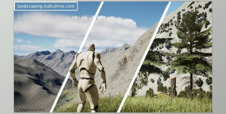
Unreal Engine (Landscaping): Introducing Landscaping, an innovative tool that simplifies importing GIS data into Unreal Engine for landscape creation. With Landscaping, you can easily import GIS data as single landscapes, world compositions (UE4), or world partitions (UE5) and generate weight maps, spline actors, and more.
Technical Details:
- Code Modules: Landscaping (Editor)
- Number of C++ Classes: 30+
- Number of Blueprints: 3
- Supported Development Platforms: Windows
- Supported Target Build Platforms: Landscaping should be built for all platforms since it generates only Unreal Engine native objects.
- Import Digital Terrain Models (DTM) from GeoTiff, ASCII, HGT, and GeoPackage files with high accuracy.
- Supports all standard projections and resolutions, including automatic merging and cropping of DTM.
- Import satellite imagery (JPG2000/GeoTiff) as material textures, decals, or vertex colours for landscapes or meshes.
- Import vector data (Shapefiles/GeoJSON/OSM/GeoPackage) to generate weight maps and instantiate blueprints or spline actors.
- No preparation of GIS data with external tools like QGIS is necessary.
- Automation of procedural foliage spawner and road assets.