Agisoft Metashape Professional is a powerful software solution tailored for the photogrammetric processing of digital images, facilitating the creation of 3D spatial data crucial in various domains such as GIS, cultural heritage, and visual effects.
How to create 3D spatial data?
You can use "Agisoft Metashape Professional" to design your project.
The product is in the Software category, for more information about this post you can click on the home page link in the sidebar.
To search for similar products to Agisoft Metashape Professional,
Its robust feature set includes versatile image processing capabilities, auto-calibration for different camera types, support for multi-camera projects, precise point cloud editing, DEM generation, georeferencing tools, ortho mosaic generation, LiDAR data support, measurement functions, stereoscopic measurements, 3D model generation with texturing, hierarchical tiled model generation, 4D modeling, panorama stitching, multispectral imagery processing, automatic powerline detection, satellite imagery processing, and extensive automation and customization options through Python and Java APIs.
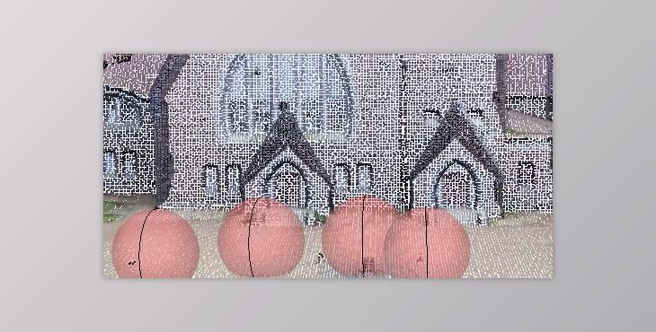
"Agisoft Metashape Professional" Samples:
Additionally, it offers network and cloud processing capabilities for handling extensive datasets efficiently. The Standard Edition encompasses core photogrammetry functions, dense point cloud generation, 3D model creation and texturing, panorama stitching, and georeferencing features.
