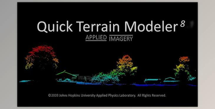
Quick Terrain Modeller 8.4.0.82836 (USA) Win: It is the top 3D point cloud and terrain visualization software. It was designed to work with LiDAR but is flexible enough to work with various other 3D information sources. It offers an intuitive user experience that lets users deal with more information, render more complex model models, analyze data quicker and export different products. These features allow for a compelling yet easy and straightforward exploration of terrain.
It allows you to see vast amounts of data using the most accurate representation to aid your analysis and use. It allows you to visualize the points in a point cloud as a gridded surface within the form of a DEM and simultaneously present both. After the data has been visible, users can increase the clarity of the view by using visualization tools, such as customized lighting and elevation palettes, model colors, or elevation exaggeration.
It works on models that have been built (DEMs or DTEDs.) or raw point data. Starting from raw points data, usually, in LAS format, the user can build point clouds or models for surfaces (or both) using these files. When creating surface models, QT Modeler offers a vast array of gridding options and triangulation choices.